A heavenly weekend at the Gateway to Hell
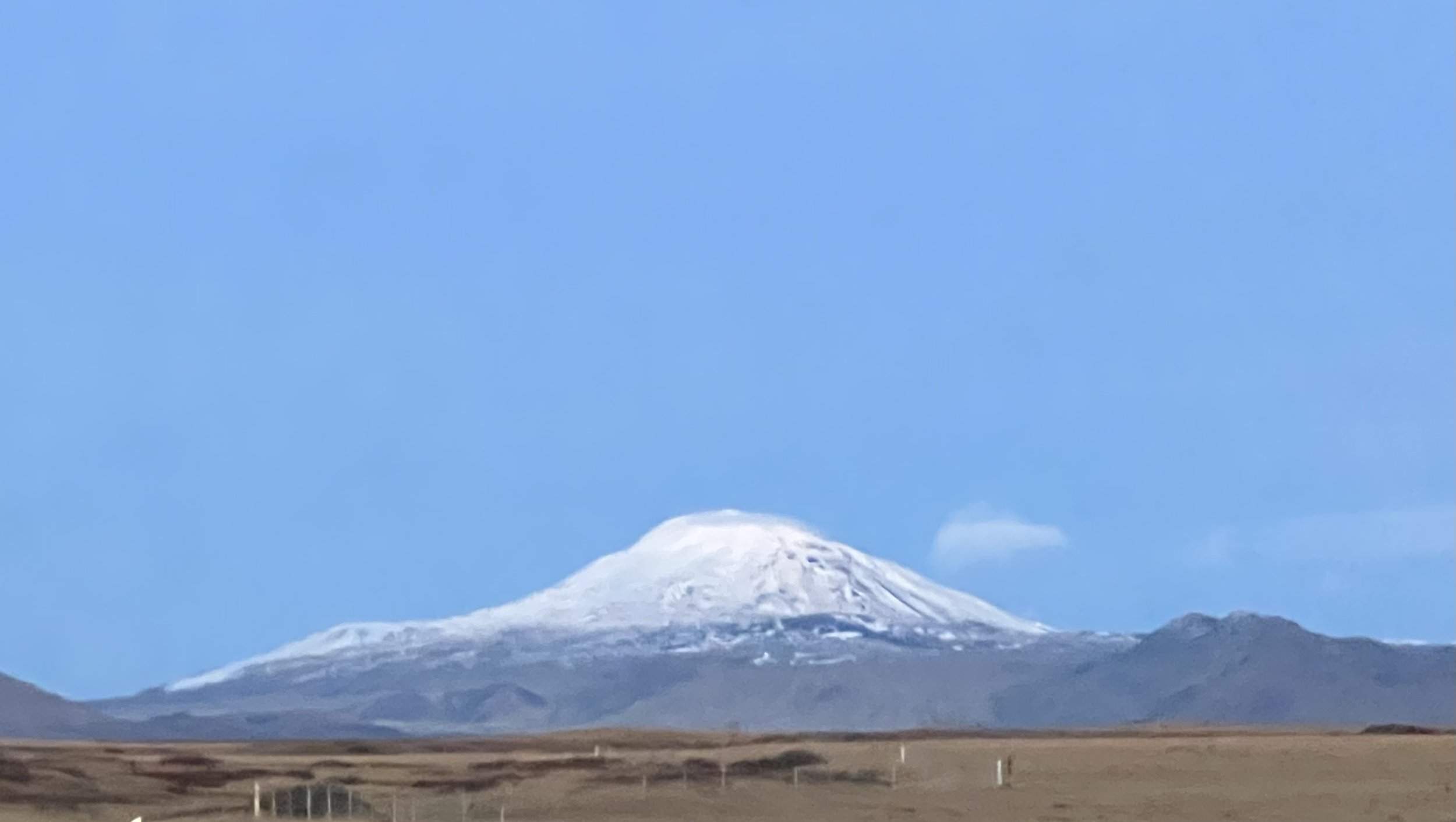
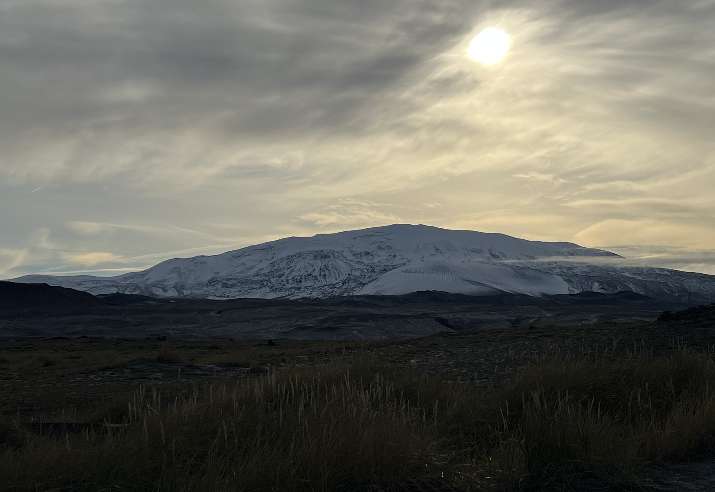
Mount Hekla
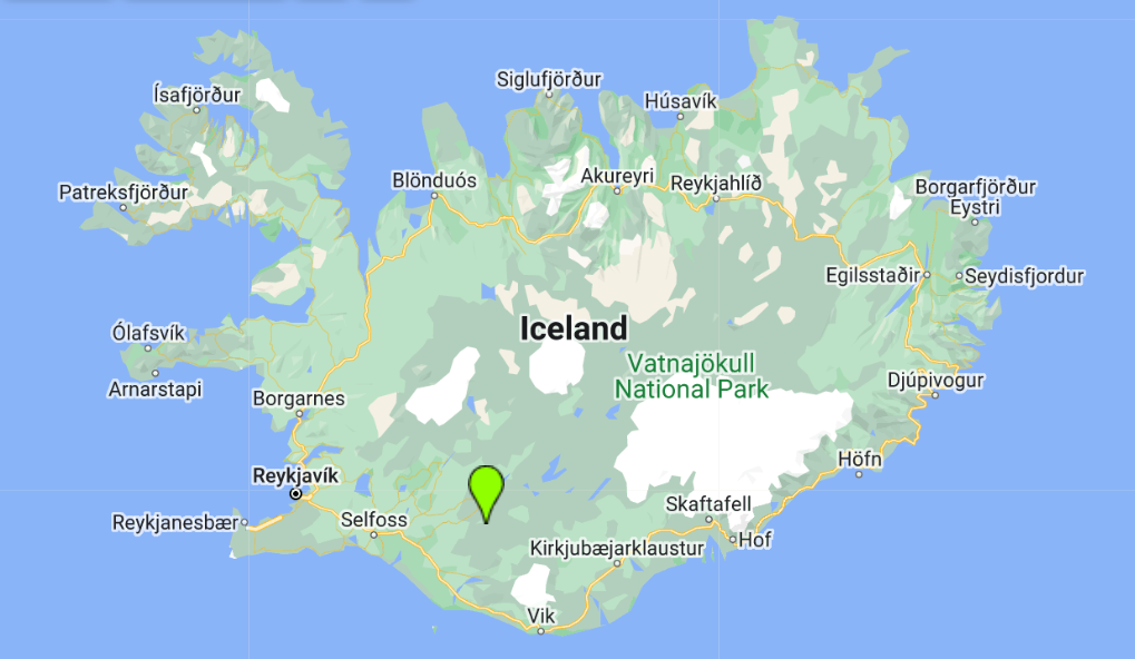
As we are approaching the end of October and we realised we both have a fair few days of annual leave that have to be taken before the end of the year, we have taken to having a Friday or Monday off every couple of weeks and taking a long weekend. This of course means the opportunity to go off and do a bit of travelling. This weekend we decided to go to a little cabin near Mount Hekla. Hekla is one of Iceland’s most famous and recognisable volcanoes and also one of the most active. “Hekla” is a word for a short hooded cloak in Icelandic, and the name refers to the frequent cloud cover which obscures Hekla’s summit. After the eruption of 1104, stories spread through Europe by Cistercian monks that the mountain was the gateway to hell, and it has been nicknamed ‘The Gateway to Hell’ ever since.
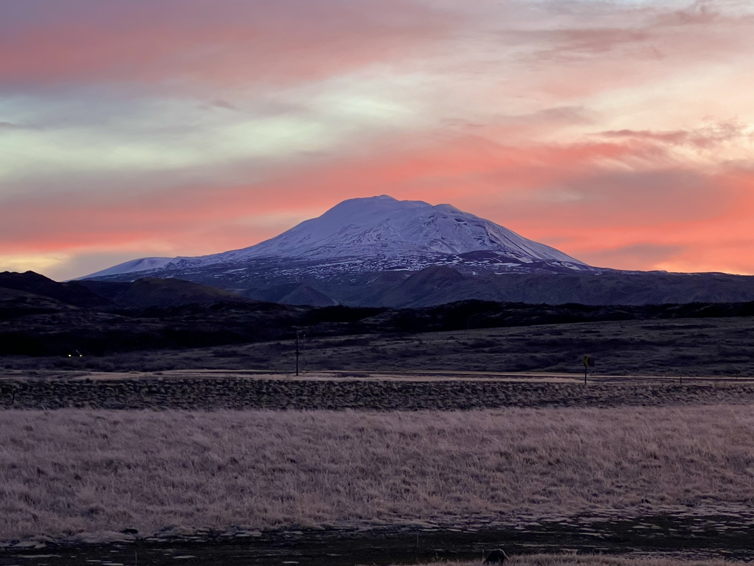
Dawn skies over Hekla
Although in the south, which we know quite well, Hekla is just a little way inland from the coast and so in an area that we didn’t really know very well. We took Friday off and set off after a leisurely start in the morning on a sunny October day.
We had decided to revisit the Skóga trail behind Skógafoss, as we had enjoyed the hike so much the last time we did it and picked the Friday to do this as the forecast was for sunshine on Friday but indicated that Saturday and Sunday would be overcast. As the last time we had been on this hike it had been quite wet and cloudy we decided to make the most of the promised sunshine.
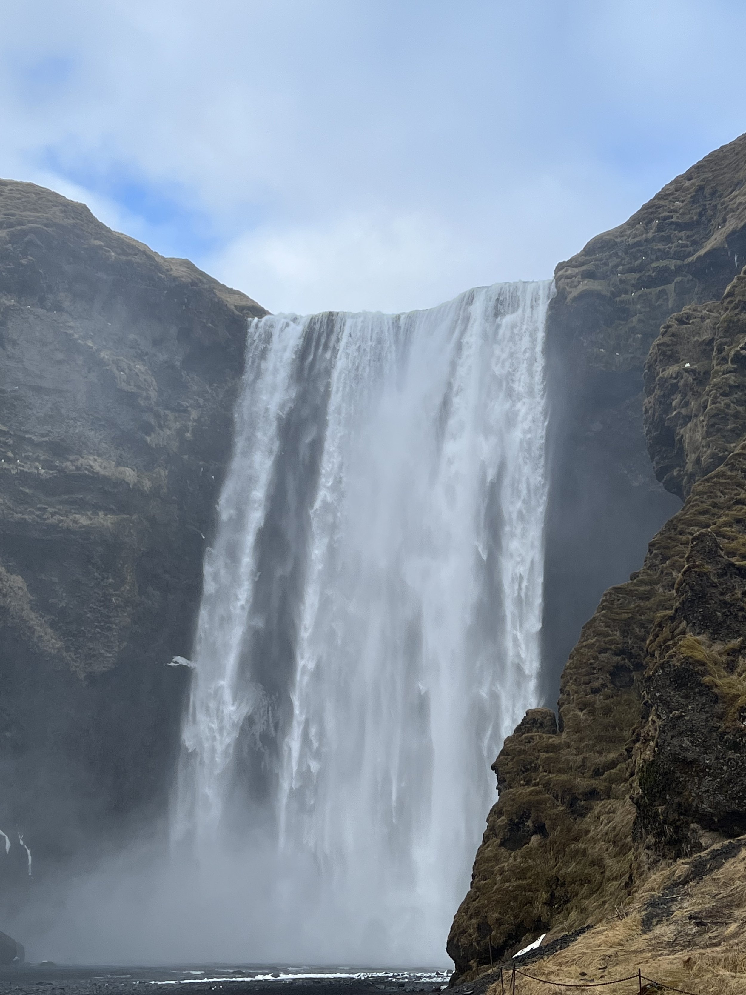
The powerful and impressive Skógafoss
Skógafoss is a good couple of hours from Reykjavík and so it was around 11.30 that we set off from the car park at Skógafoss. It was very busy with tourists and the car park was almost full when we arrived so we decided not to hang about with the crowds at the foot of Skógafoss itself and instead set off straight up the 527 steps that lead up the side of the waterfall to the viewing platform at the top. This is really not the best way to start a 14km hike!! But the view from the top is lovely and we took a few minutes to recover our breath as we set off on the walk proper.
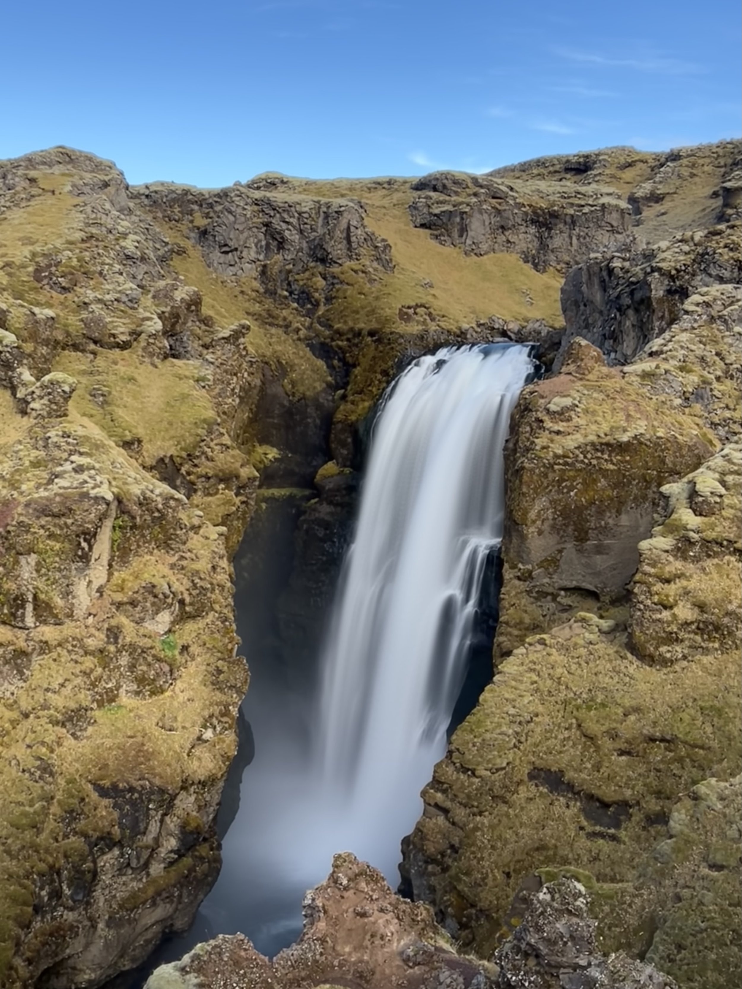
Views along the hike, waterfall in the foreground, glacier in the background
Having already done this hike and taken dozens of photographs of each of the many waterfalls, we didn’t feel the need to take as many pictures this time and instead just enjoyed the views. Having done my research and found a number of waterfalls to visit near our AirBnB cabin, I did realise at this point that we probably wouldn’t see anything as impressive as the many waterfalls that we encounter on this walk! It really is a stunningly beautiful hike with amazing views almost everywhere you look, and waterfall after waterfall.
This walk never disappoints, whatever the season or the weather
We stopped at the same place as last time and ate our lunch overlooking the lovely Skálabrekkufoss, before continuing on towards our favourite waterfall, Króksfoss, just two or three kilometres short of the bridge that marks the end of this section of the 25km Fimmvörðuháls trail that leads all the way to Þórsmörk.
Not bad for a lunchtime view!
The entire walk was around 14km and our calf muscles certainly knew about it by the time we had finished!
Once we had got back down the 527 steps to the car we headed off to find our AirBnB, experiencing a glorious sunset as we drove.
Heading off the main route 1 just outside Hella the asphalt soon gave way to gravel and we were expecting it to be hard going but the road was remarkably good considering. We soon arrived at Afternoon Cottages, a cluster of little square cabins in the middle of… well, in the middle of nowhere really. The views were lovely, dominated by the outline of the mighty Hekla, covered in snow and looking for all the world like an Icelandic Mount Fuji.
Hekla is one of Iceland’s most explosive, unpredictable and powerful volcanoes. It has also apparently produced one of the greatest lava flows of this millennium of any volcano in the world, at eight cubic kilometres. Approximately 10 percent of Iceland’s landmass was brought up by lava from Hekla. It has erupted twenty to thirty times since settlement and is currently one of Iceland’s most active volcanoes. Hekla is monitored constantly, but is nevertheless considered a safe place to visit as long as you remain aware and check the meteorological office’s website to ensure that there are no alerts that an eruption may be imminent. We did make sure that there had been no alerts in the area, particularly as according to the historical pattern of eruptions, volcanologists have warned that a new eruption is overdue!
All of which made Afternoon Cottages a rather exciting place to stay for the weekend! Despite the odd-looking outside appearance, we were delighted to find that the cabin was as luxurious and well-appointed as a good hotel room, but with kitchen and dining facilities. Once we’d settled in, we briefly considered heading back down the road to Hella, some 25 minutes or so away, and finding something to eat, but instead stayed in and enjoyed a simple picnic supper with fresh sourdough bread that we had bought on our travels.
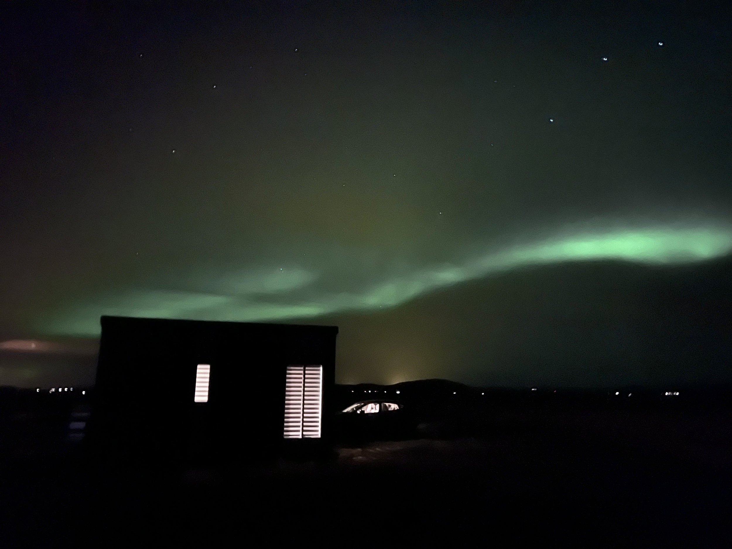
By this time it was very dark and being in a dark sky area with no light pollution, we were treated to a night sky that was absolutely full of stars! There were more stars than I have ever seen in my life before and we just stood in awe at the sight above us. Using the star app that I downloaded onto my ipad we could identify all sorts of constellations that I’ve never seen before and we even discovered that we could see Jupiter, Saturn, Mars and Venus with the naked eye, as well as the Milky Way! It was absolutely mind-blowing and it was only the temperature that kept forcing us back inside into the warmth of our cottage. A little later, we even got to see the Northern Lights as well as the stars. What a wonderful bonus on an already amazing evening!
The siting of our cabin had clearly been well thought out, as we discovered in the morning when we woke up to see the dawn rising as the peak of Hekla was bathed in pinks and oranges – all perfectly framed and visible from our comfortable bed.
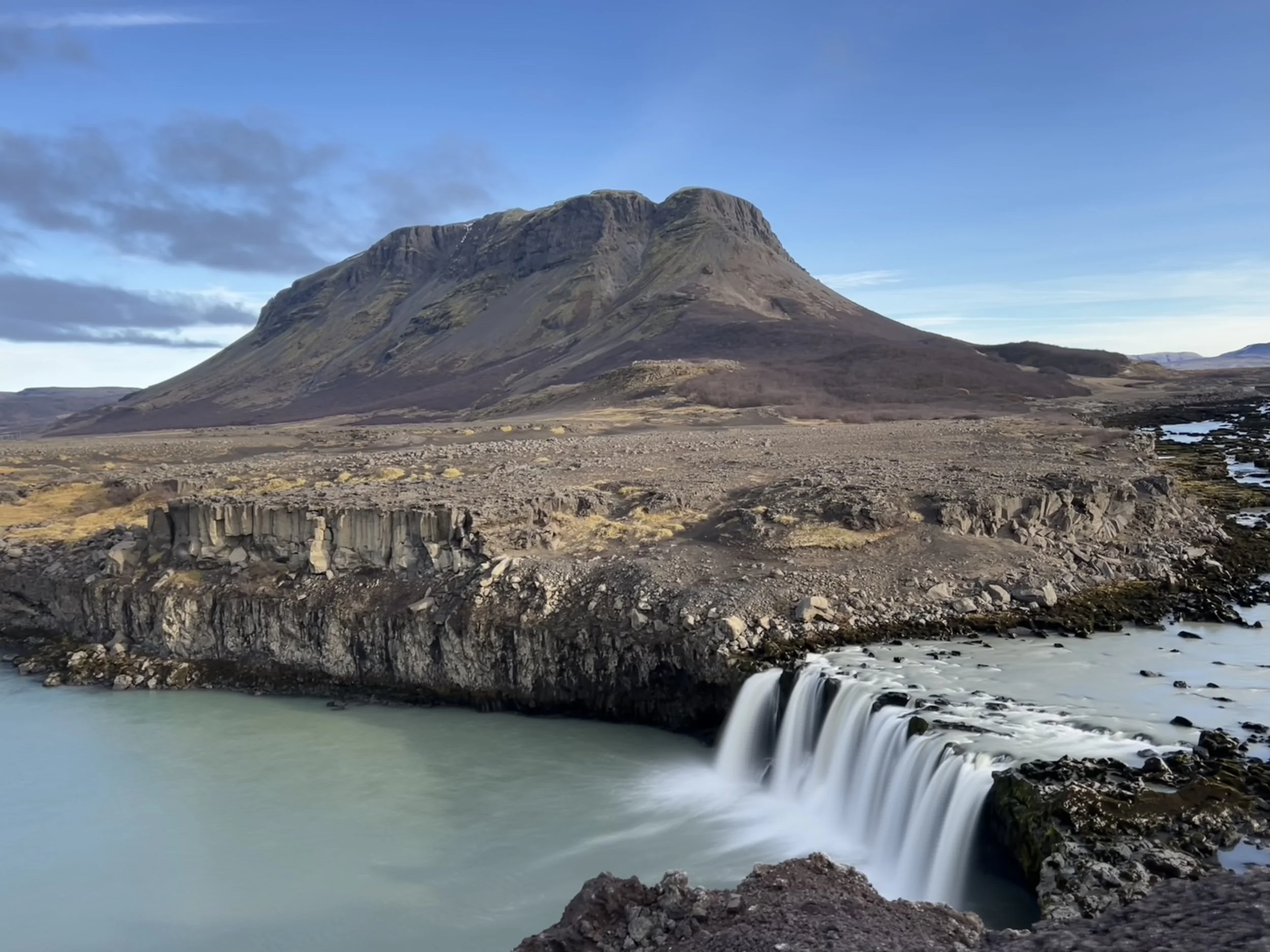
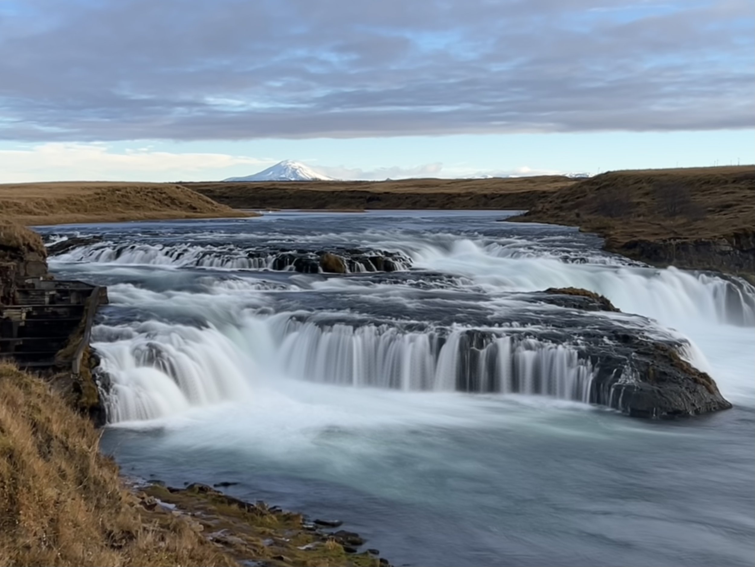
Saturday was a day for exploring new places; we had done a fair bit of research before setting off, only to find that most of the places that are recommended as being worth visiting in the area were supposedly only suitable destinations for the summer and also that they should only be attempted if you have a 4x4 vehicle. However, having woken to a glorious day with no sign of snow or ice and having made it on the gravel F-road to our cottage, we decided to try exploring and headed off for the first of our attractions, Þjófafoss. Þjófafoss is in the river Þjórsá, Iceland’s longest river, to the east of the Merkurhraun lava field, just to the south of Búrfell mountain.
Þjófafoss with Mount Búrfell behind
The flow rate in Þjófafoss is relatively low during winter but greater during the summer. This is apparently due to the Sultartangi and Búrfell power plants on the river, as a large proportion of the water is diverted past the falls. Having said that, it looked pretty impressive to us and was actually more impressive than we had been expecting from the pictures we’d seen. This was helped by the fact that we made a mistake when locating the Þjófafoss parking lot and parked a couple of km short of where we should have. We saw the signs for a hiking trail and it was only when we crossed a bridge over the river that I realised we were on the wrong side of the river Þjórsá and checked on google maps to find we were still some way from the falls. However, we carried on with what turned out to be a delightful walk and were rewarded by seeing Þjófafoss from the other side, getting a less usual view of the waterfall and the canyon wall made of hexagonal basalt columns – not visible from the viewing point by the road.
Having taken our photos, we wandered back along the hiking path, back over the bridge (which incidentally is an incredibly grand and well-constructed bridge, considering it only seems to lead to a little-used hiking path!) to where we’d left the car and then drove the extra 2km to the correct place where we had the usual view of Þjófafoss with Mount Búrfell in the background.
Buoyed up by our success in negotiating the gravel F-roads to find Þjófafoss, we decided to have a go at reaching the Gjáin valley. This was somewhere I have wanted to find, since reading an article about it online. Gjáin is the sort of place you would never find by accident. It is a tiny valley hidden away in the middle of a large expanse of flattish, relatively unexciting terrain. It would be possible to drive straight past it without ever knowing it was there.
The article I had read stated that in a place like like Iceland, where powerful huge waterfalls, blazing volcanoes, and vibrant blue-white glaciers are at every nook and cranny, it would be easy to assume that there would not be much fun in visiting a small valley hidden away somewhere in a hard-to-reach place but that the breath-taking views and scenic beauty of Gjáin would change our mind about small packets of beauty in an instant.
One of many lovely views of Gjáin
Well, that was me sold and I was determined to find this small packet of beauty! Having described it to Matthew, he was just as keen and so we keyed the location into the satnav and headed off. I have to admit, I thought that perhaps the satnav was wrong and by the time we got to within two or three kilometres of where it was supposed to be and yet all we could see was dusty, rocky flat ground all around us with a sparse covering of grass and little else, Matt too was searching around us, convinced that I’d sold him a pup! Even when we pulled up in the car park area, we could see little evidence of this beautiful spot. Having got out of the car we were totally unsure of which way to walk as we still couldn’t see a valley, but we headed towards a small sign and a narrow path and as the path started to slope sharply downwards as it made its way down the steep valley wall, the valley of Gjáin was revealed.
One of the many caves in the Gjáin valley
Gjáin is a tiny valley with small picturesque waterfalls, clear, tranquil ponds, huge rocks, basalt columns and amazing delicate volcanic structures. According to my article, it is like a small sample of Icelandic nature all packaged up in a tiny area. I think the fact that it is so hidden and reveals itself so unexpectedly, surrounded as it is by the rather barren terrain of this stretch of land on the edge of the central highlands is what makes it even more extraordinary and why it is so often referred to as an oasis of beauty and a hidden pearl in the Icelandic countryside.
There is something quite otherworldly about this place
However, the article I had read also stated that it is a beautiful place to visit but only from June until the beginning of October and that outside the summer months, it is either not accessible and filled with snow or simply not very interesting due to dull colours and early spring water. I was therefore not expecting too much from our visit but I have to say I was blown away by this place.
Grassy slopes with rivulets of water flowing down into the Rauðá river
Yes, visiting it at the back end of October meant that the colours are very muted and the vegetation is mainly yellow/brown in colour and I could see that in the summer, with the valley covered in lush green grass and vegetation with flowers blooming it would be utterly magical and I imagine will look like something out of a fairy tale, but even with winter fast approaching, and the colours having faded, this place is very special.
The view looking back along the valley, with a rock looking for all the world like a troll’s face
We made our way carefully down the narrow, quite steep path descending the valley slope and as the path branched out in various different directions, we didn’t know which path to take first and which bit of this lovely valley to look at. We opted to take the path to the left which led down to several hummocky slopes, criss-crossed by rivulets of water trickling down to the Rauðá river (Red River) which runs along the valley. Opposite us was a rocky outcrop with a huge rock that looked like a giant troll, to our left was an enormous cave in the valley wall, ahead of us was another cave, to one side we could see the valley stretch out away from us with the river meandering away and to the other we could see several waterfalls and the valley walls, which in the summer must be a riot of greens. There are little pathways going in all different directions and everywhere you look it is beautiful.
One of several pretty waterfalls in Gjáin
The writer of the article I read has probably been spoilt by seeing this place at its best, and maybe I’d feel the same if I saw it first in the summertime, but I have to say that I thought this place was wonderful, even at this time of year. I can’t wait to go back when everything is green and lush – I imagine it will be quite magical. As it was, it felt that spending time in this special place was a real treat for the soul. In a place like this, you can totally understand why the belief in elves and trolls is so strong in much of Iceland. This is just the sort of place they would choose to live, I’m sure.
The river with a natural crossing of rocks and stepping stones
As with so many places in Iceland, Gjáin was a filming location for Game of Thrones (I really must watch it one of these days!). Apparently the scene featuring the water dance with Arya and the Hound was filmed here and nothing had to be digitally altered, it is such a perfect setting!
Having explored the part of the valley we climbed down into, we found that to see the rest we had to cross the river. Luckily there is a place where there are some stepping stones that enable you to make your way across without getting wet, so we hopped precariously across and discovered the other half of the valley with the beautiful waterfall Gjárfoss. This waterfall seems to have four separate streams of water that all merge together to make one waterfall. Although at first it may not seem that impressive a waterfall compared to some of the huge falls in Iceland, the gorgeous setting and amazing rock formations behind it make it one of my favourites so far.
Gjárfoss and its peaceful pool - favourite swimming spot for locals
The other thing that makes it pretty perfect is the lovely round pool that it flows into. Apparently this is a favourite swimming place for locals in the summer – now that is something I absolutely have to try!
As it was, we settled for clambering up the steep rocky outcrop at the other side of the pool and sitting on the top in the sunshine to have a picnic lunch looking out at Gjárfoss with nobody else around. Just perfect.
The beautiful Gjárfoss - yet another fabulous lunch spot with waterfall view
After lunch, we climbed down the other side of our rock and had a look at the pool, then found some stone steps that ascended the other side of the valley wall. Upon climbing them we discovered a pretty woodland that meandered along the edge of the valley so decided to explore. We were aware we were now heading away from the car park on the wrong side of the valley so that at some point we’d have to either retrace our steps or find a way down and across the river, but decided to find out where it went anyway. After a very pretty walk we found that we had arrived at Stöng, much to my surprise! Stöng, in the Þjórsárdalur valley, is the location of a heritage site that I had fancied driving to, but we had almost forgotten about it, and by sheer chance we ended up walking to it!
The modern structure that has been built over the Stöng farmhouse remains
It is among the best known archaeological sites in Iceland, where a viking farmstead was discovered. This goes back to the age of the Sagas in Iceland, in the 11th century and it is thought that it was deserted due to an eruption of Mount Hekla in 1104. It was excavated in 1939, revealing the farmhouse and the remains of a smithy and a cowshed. A great viking, Gaukur Trandilsson, is supposed to have lived there. He is mentioned in the famous Icelandic saga, Njálssaga, as one of the biggest heroes of the Viking era in Iceland.
The main area of the farm is the hall where people worked during the day in winter and ate around the longfire. There are several smaller rooms that are thought to be a living room, a pantry and a bathroom. The remains have been preserved by building a structure with a roof over them. This roof is much higher than the original would have been, but gives the remains protection from the Icelandic elements.
Just before we arrived at the Stöng farmhouse, we had noticed a bridge crossing the river, so after looking around the remains, we made our way down the valley slope towards the river and across the bridge, then back towards the car park. The complete loop was probably only three or four kilometres, making a delightful and very easy hike, with so many treasures to see.
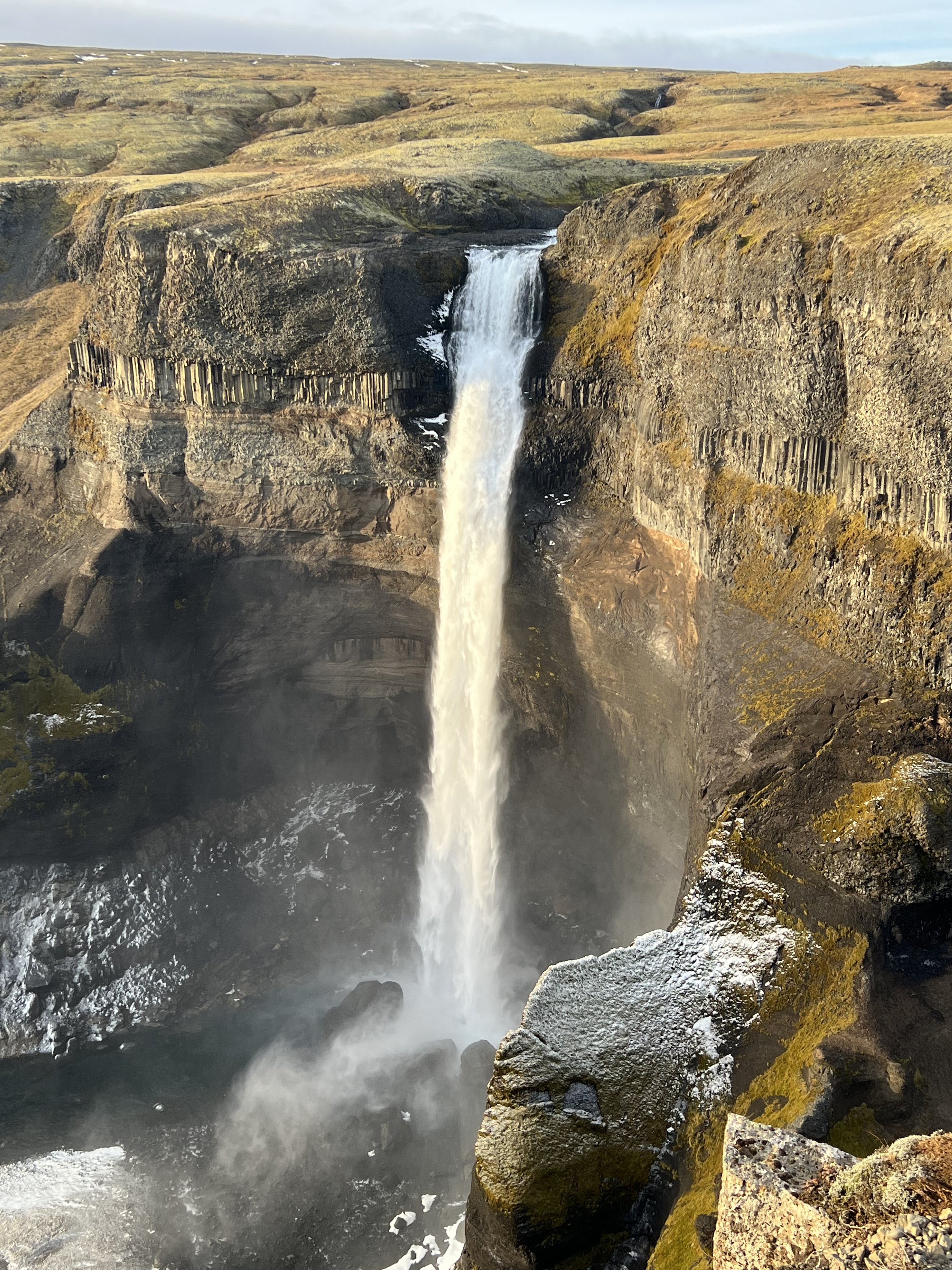
To complete the random nature of the day, we had noticed on our way to Gjáin that one of the roads we were driving along was called Háifoss. Well Háifoss is the fourth highest waterfall in Iceland, and one we have intended to visit a number of times, but never managed to – either due to the weather or time constraints – so I checked online that the waterfall actually is near the road named Háifoss (it is), and we decided to finally go and look at it. A few more gravel roads later, we made our way to the small car park and viewing point. When I say viewing point, there is nothing official there, other than a car park and a sign. You are able to walk right to the edge of the cliff on the other side of the deep gorge. There are no railings or even ropes, so it is a place to tread with caution. Even though I don’t have a fear of heights as such, I found it quite scary being near the edge as it is incredibly high with a vertical drop to the rocks below.
Háifoss and the Fossárdalur Valley beyond
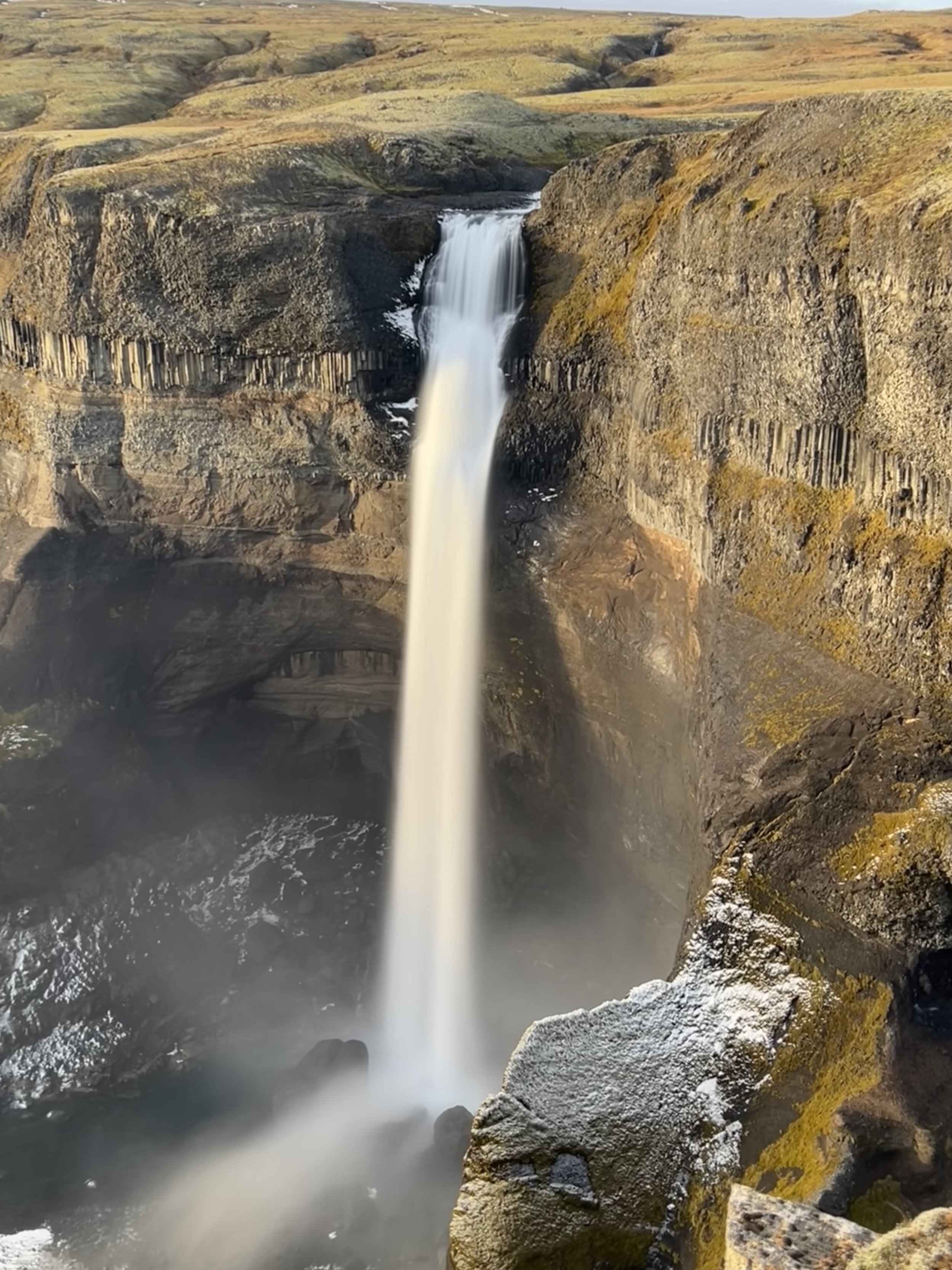
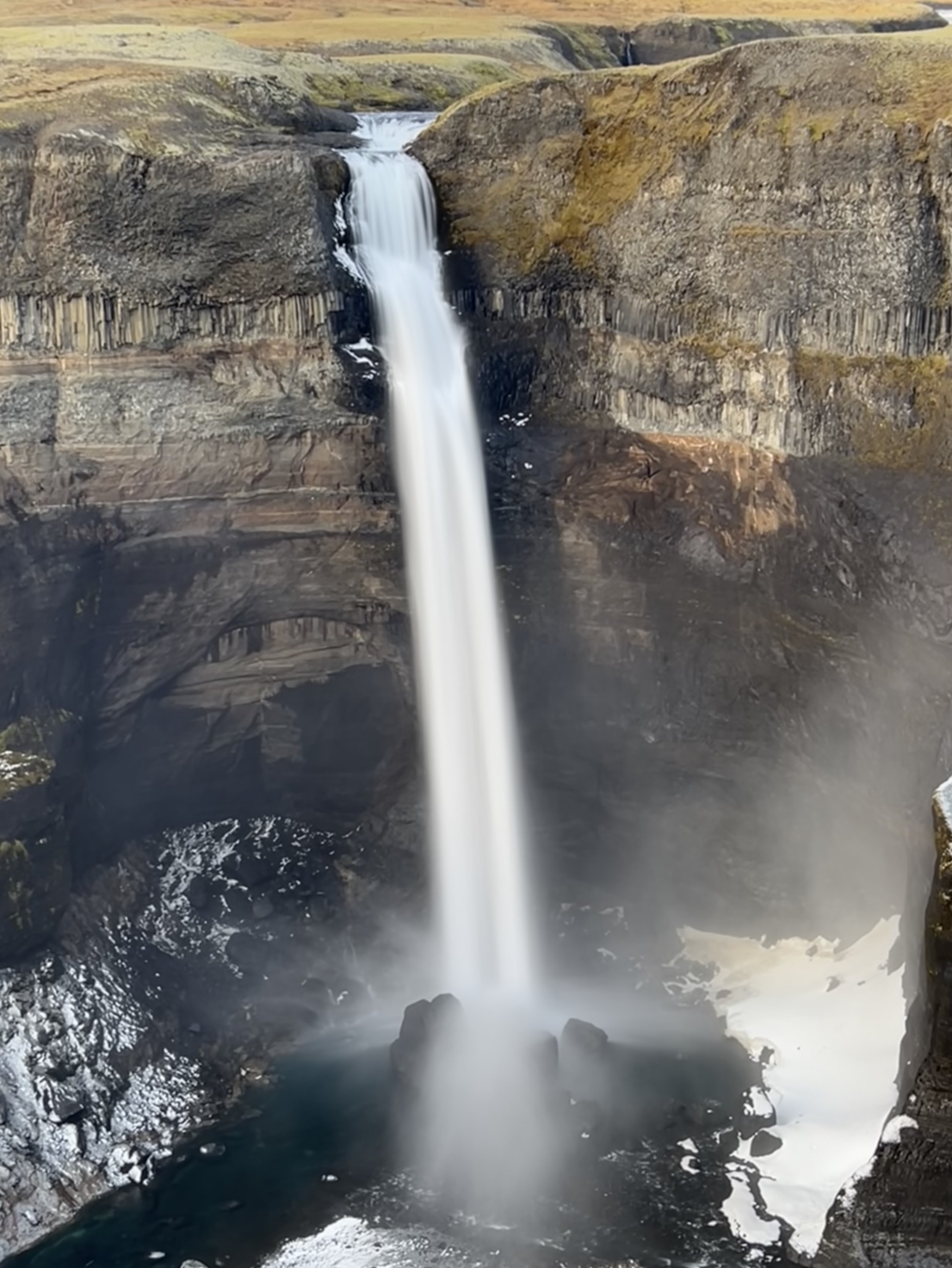
Having said that, you are rewarded by the most amazing sight when you look across at Háifoss, thundering down the other side of the Fossárdalur valley. Háifoss means the Tall Falls and is 122 meters high, situated in the Fossá river, a tributary of Iceland's longest river, the Þjórsá. There is another lovely waterfall, called Granni (meaning neighbour) just to the right of Háifoss, and this pair of waterfalls make a breathtaking sight.
Having said that, Háifoss itself is very much the star of this particular show. High and straight, the waterfall drops in a vertical column of white into the rocky bowl below it and is just stunning. This is one waterfall that you would not want to attempt to walk behind (even though it looks as though you could) because it is just so powerful that I’m not sure anyone would ever survive the attempt!
The sheer beauty of Háifoss
Matthew just stood there staring, then quietly said “I think I have a new favourite!”. The power of the water as it rushes and tumbles down the vertical cliff is incredible, and the sound as it hits the rocks on the valley floor is quite deafening. This really is an incredible waterfall!
It is apparently possible to hike down to the bottom of the deep gorge to see Háifoss from below. The hike is about 4km and takes around an hour and a half to complete. We were quite happy to stand where we were and marvel at the sight from the other side of the valley as the views are absolutely phenomenal.
Standing opposite Háifoss, this is the view looking back down the valley
Even the rock walls of the cliff are stunning with different layers clearly visible. According to the noticeboard in the car park the strata by the falls are close to 2 million years old and are made of thick lava flows above volcanic rocks that emerged under the ice age glaciers, compressed and moulded into tephra layers.
The layers of rock add beauty and drama to this amazing waterfall
We walked for a short way along the edge of the gorge (not too close to the edge, obviously!) enjoying the view of the valley and its gorgeous waterfalls, with Hekla in the distance, but eventually decided we needed to tear ourselves away and make our way back to Hella in search of an EV charging point and some food! We were lucky enough to find both, and enjoyed one of the best fish and chip suppers I have had in a very long time!
Returning to our little cabin, we relaxed after our long day with a glass of wine, a few games of Yahtzee, and a well-deserved early night.
The next morning we decided a very easy day was called for, so after a long lie-in enjoying the view of Hekla and surrounding mountains, we packed our stuff and headed off for lunch in one of our favourite restaurants, Restaurant Mika in Reykholt within the Golden Circle area. On the way to Mika, we made a brief detour to see two waterfalls we had visited last winter, Ægissíðufoss and Urriðafoss.
Ægissíðufoss, with Mount Hekla in the background
The Ægissíðufoss waterfall, although not big, is very pretty – particularly with Hekla in the background and we were lucky to have such good weather and to see Hekla clearly (as we did for pretty much the whole weekend) as very often it is wreathed in cloud. With the rocky riverbed forming a V shape, the cascading waters from the Ægissíðufoss waterfall stream into the tranquil Ytri-Rangá river. The waterfall also has a salmon ladder, and this beautiful place is apparently a great fishing spot. There are also a number of hiking trails here although we only had time for a short stop – lunch was calling!
The beautiful Ægissíðufoss
Our second brief stop was to Urriðafoss in the Þjórsá river. The last time we came here in the winter, the path was closed due to icy conditions and we were unable to see the waterfall properly, but today we were able to see what we had missed. The waterfall has a very shallow drop, only some 6 metres or so, but is very wide and apparently more water flows over the Urriðafoss falls than any other Icelandic waterfall. In very cold winter conditions in the past, ice has often piled up at the waterfall to a thickness of as much as 30 metres, but today there is far less ice in the river due to the reservoirs which have been built further upstream. The word urriða means trout in Icelandic, and this area is a great fishing area for trout and salmon. Seals also swim up the river as far as Urriðafoss, where they can catch their fill of salmon and trout.
Urriðafoss
Urriðafoss’s very existence could well be under threat though. Apparently, the Landsvirkjun power company is planning a 130MW hydro plant in the Þjórsá river at Urriðafoss. If the plant is built, the river will be dammed and then pass through tunnels to the east of Urriðafoss. This would greatly reduce the water flow over the falls, especially in winter and there would be times where the waterfall would run almost dry.
The shallow drop gives no indication of just how much water flows over these falls
For Iceland’s highest volume waterfall to meet such a fate would be awful in my opinion. I understand the desire to utilise energy resources profitably, but it would be very sad if Urriðafoss fell victim to profit. It is an all-too-familiar situation, where the opportunity to make money almost always occurs at the expense of nature and the irreplaceable benefits it provides. I, for one, hope that the hydro plant is not built and that Urriðafoss, with its salmon, trout and seals remains here for many years to come.
Having finally seen Urriðafoss, we headed straight to Mika for a very delicious lunch. Although not generally a huge fan of pizza, I have discovered that Restaurant Mika serve the best pizzas ever and so I went for a surf and turf; pizza generously topped with langoustines and tenderloin beef…. What’s not to like? This was after a rather delicious starter of deep fried langoustines with a white chocolate and chilli dip and soft ripe mango – I cannot imagine who first thought of such a bizarre combination but it is divine! We left with a small box of Mika’s home-made chocolates, very full and very happy.
Wherever you drive in this area, Hekla dominates
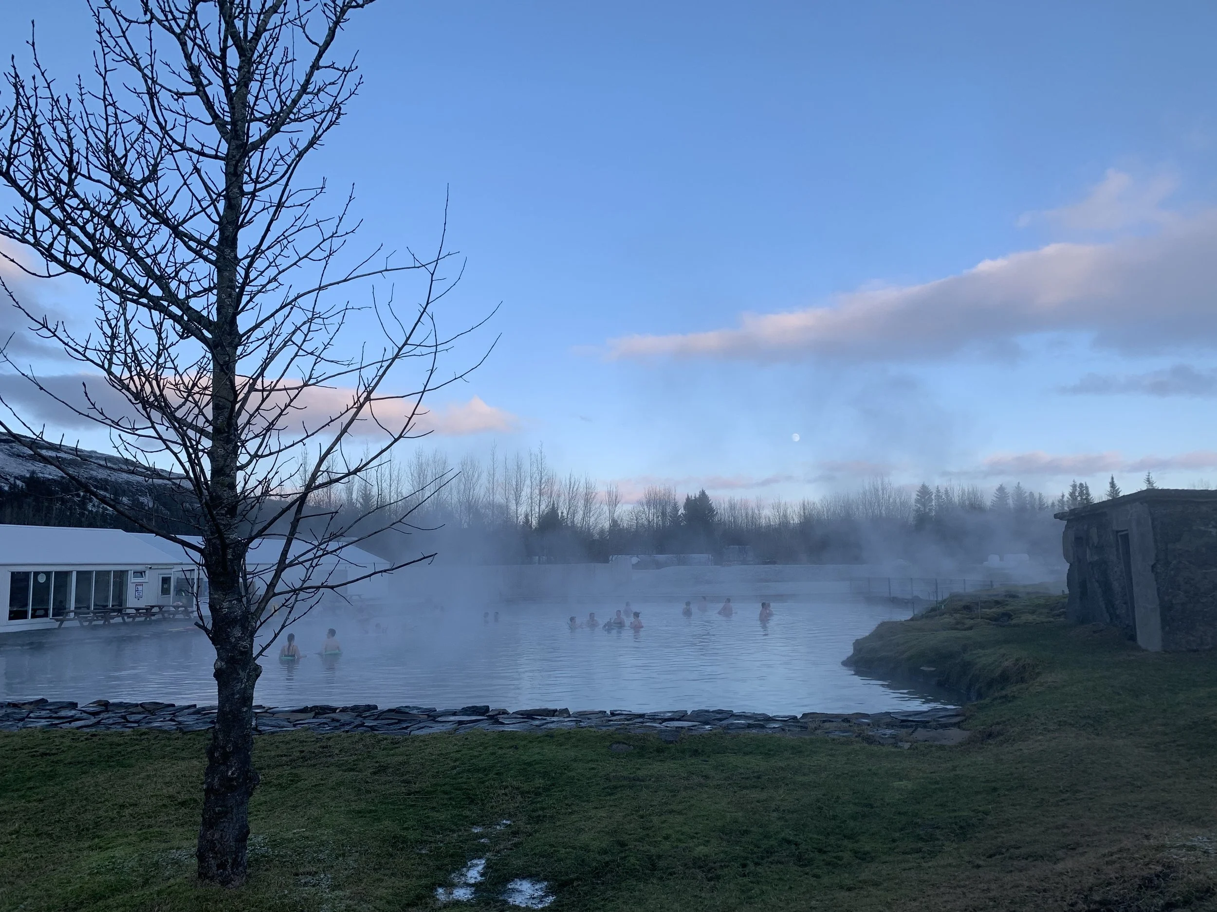
The final stop on our weekend tour around the Hekla area was a return to the Secret Lagoon for a chance to soak away some of the aches (those calf muscles!) of the weekend. Although it was much busier than we’ve previously experienced it, it was still a lovely way to end the weekend and we stayed for a good few hours enjoying the hot water as the sun sank below the horizon and we contemplated the drive home.
The Secret Lagoon
Considering the fact that we had thought we may not be able to visit most of the places we had earmarked as being of interest, as the internet told us they should only be accessed in the summer, we ended up having a very full weekend and seeing some amazing new places. To top it all off, when we finally got home we found that the aurora was still around and, despite the sky being very cloudy, we could see the green lights of the aurora, along with purple that seemed to reflect off the surface of the clouds. We were too tired to get up again and head off out to the outskirts of Reykjavík for better views, but enjoyed the views from our own balcony.
Along with some lovely food and amazing skies, both daytime and nighttime, it has been a fantastic weekend!
