Múlagljúfur Canyon

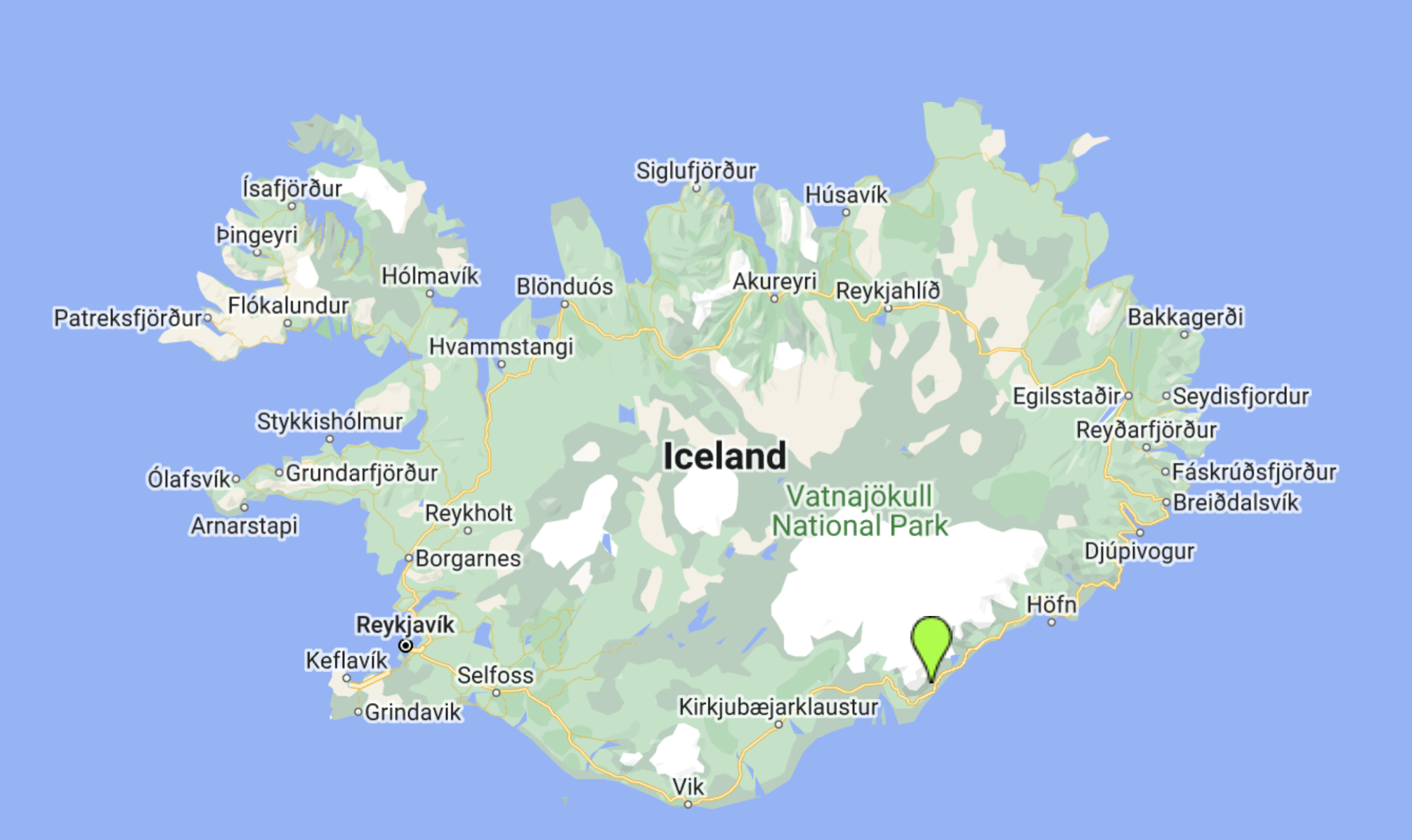
I first found out about Múlagljúfur Canyon when I was planning a trip to Fjaðrárgljúfur Canyon and had forgotten the name (well, let´s face it, Fjaðrárgljúfur is not exactly an easy name to remember!!) so went onto google to find out what it was called. I ended up on a website claiming to have found the 10 most beautiful canyons in Iceland and Múlagljúfur was featured as one of their top choices. It took a while until we were able to visit as it is situated a long way from Reykjavík, almost at Glacier Lagoon on the South Coast. So when we were planning a trip out to the east of Iceland, it was one of our scheduled stops as we made our way along the south coast.
Múlagljúfur is situated just beside the smaller Fjallsárlón lagoon that lies just to the west of the much more famous Jökulsárlón (Glacier Lagoon) and is an amazing place for hiking during the summer season. It is really only accessible in the summer as during the autumn and spring it can be very muddy and slippery and in the winter will be extremely icy and unsafe. However, it is worth taking the opportunity to visit it when conditions are good, as it is the most extraordinarily beautiful canyon. Hidden and unknown for years, it has only recently started to become a popular destination for travellers yet even now it is not signposted or widely advertised. However, it is well worth making the effort to find as the scenery is nothing short of majestic, with breathtaking views in all directions. There is a marked trail that can be followed and even a small car parking area located at the bottom of the canyon mouth, making it a pretty easy hike.

Having put it into Google Maps as it wasn´t signposted, we turned off Route 1 to drive inland just before the turning to Fjallsárlón. 2km or so from the main ring road we reached the car parking area and parked up, getting into our hiking boots ready for the walk.
Even from the car park, the hike itself isn´t marked with noticeboards or maps but we were fortunate in that there were a few other people there so we could see which direction they were all heading off in or, in some cases, returning from. Beside the car park is a small steep slope, almost like a retaining wall, and we clambered up that, from which point we could see the first trail marker. As we looked up to the right we could see the Fjallsárlón lagoon and the edge of the glacier. It is rather impressive seen from this point as the glacier itself appears to end in a vertical wall with all the fissures and cracks clearly visible. Looking up to the left, we could see the start of the trail itself and the mountains beyond.

The point where a glacier stops…
The start of the hike is very gentle, with a meandering path that makes its way through overgrown bushes and over small streams. It gradually gets steeper but is a pretty easy hike. The views all the way along the hike are gorgeous, looking back across to the Vatnajökull glacier and looking ahead to the gorge itself, with the Hangandifoss and Múlafoss waterfalls visible in the distance. Hangandifoss is apparently one of the tallest waterfalls in Iceland and is very impressive. Given how beautiful it is here, it is surprising that Múlagljúfur isn´t better known but somehow it doesn´t seem to be on the tourist route, maybe because of the lack of signage and local information.

Looking back towards the glacier as we climbed
This all worked to our advantage though, as there were not very many people there when we did the hike and it is a very special feeling to be in such magnificent surroundings without other people around. It feels like such a privilege to even be there!
The area is covered in green moss and overgrown bushes, brimming with various types of wild flora and fauna, and has narrow tracks comprised mainly of gravel.
The site is ideal for hiking, especially during summer. However, it is really not sensible to try to hike it during autumn and spring as the trails become muddy and slippery, which is unsuitable for exploring the area. Obviously, in the winter it´s a real no-no as it becomes very snowy and icy and the terrain becomes nearly impossible to navigate.

Approaching Hangandifoss waterfall
To reach the canyon rim, there are two small streams that need to be crossed. The first is a small creek which is easy to jump over. The second river crossing can become swollen with glacier melt and rain, so it’s important to choose your path carefully. When we walked up, it was barely bigger than the first so caused us no issues. After crossing the second river, the final stretch of the hike is a steep and narrow incline. You do need to have sure footing as you ascend to the canyon rim, and I imagine that for anyone who´s afraid of heights it could be a little challenging.

The first glimpse of Múlafoss in the distance
The lovely thing about this hike is the way that the views change the higher you climb. Photos really do not do it justice as they cannot give the sense of majesty that you feel when you are actually there. The stunning 360-degree views are truly worth the effort of getting there – this place is very special indeed. One of the best views is found after about 30 minutes of climbing, when you reach a point with spectacular views into the gorge in both directions, plus a fantastic and relatively close view of Hangandifoss waterfall as it drops dramatically from the side of the gorge to the right. It really is spectacular.

Hangandifoss waterfall
Apparently, most people stop at this point and head back down the way they came, but it is worth continuing up the canyon. Soon after the viewpoint across to Hangandifoss, we found ourselves crossing a relatively narrow rock bridge. It wasn´t dangerously narrow but it did give us pause for a few moments as there is quite a drop on both sides and on the day we climbed up the canyon there it had become a little bit windy up at that height and we felt quite vulnerable traversing that section.


The two photos above show the view we had of our path as it diminishes to its narrowest point, which can be seen on the right hand side of the picture below

After this the trail got a bit steeper, as it continued to climb the gravelly hillside. At the top of this section we reached a second natural viewpoint from much higher up, providing a more direct look down into the canyon itself, as well as further up into the green folds of the mountains. From this point we could see the waterfall that shares it´s name with the canyon, Múlafoss, along with a third waterfall much further up the canyon.

At this point we decided to turn and head back down the way we had come, with equally beautiful views on the way down. As you descend back towards the car park you get the added pleasure of seeing the glacier ahead of you, beyond the beauty of the canyon itself.


Enjoying the colours of our surroundings as we descended back towards the glacier
The entire walk was an absolute pleasure and has been one of the standout hikes of our time in Iceland so far. In a country full of phenomenal scenery, Múlagljúfur still manages to stand out, which says it all really.